LiDAR
LiDAR has revolutionized the way aerial mapping and surveying is conducted. It offers a wide range of benefits and advantages over traditional surveying methods. LiDAR, which stands for Light Detection and Ranging, is a remote sensing technology that uses laser beams to measure and map the Earth’s surface.
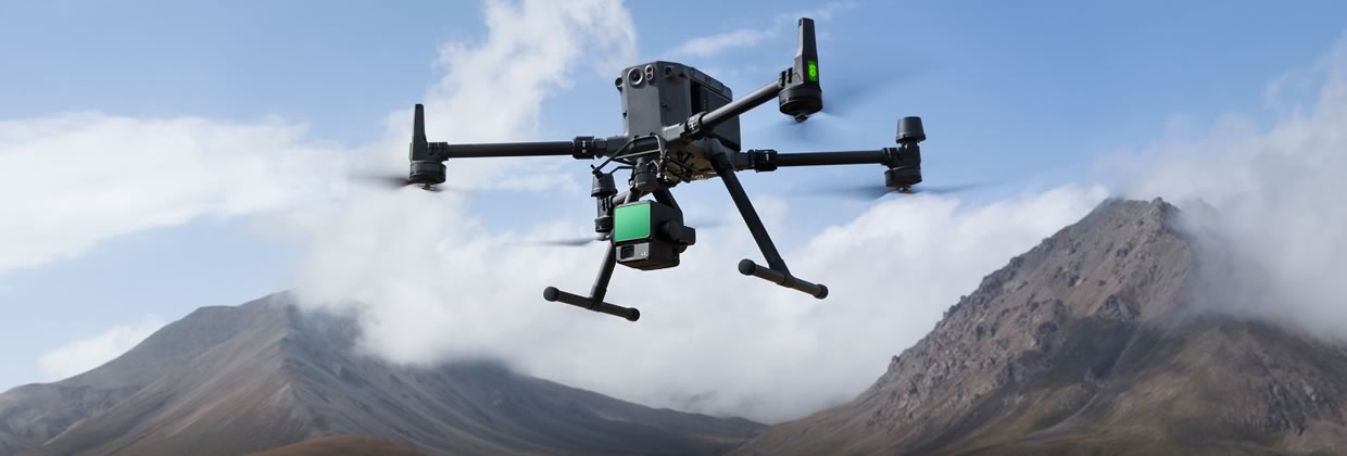
Survey Grade UAV Lidar solutions make it convenient to design accurate terrain models. An added upside to using laser scanners and the LiDAR sensor is that they are able to penetrate through vegetation. This sensor will be a payload of the M300 RTK.
Reasons to Choose Aerial LiDAR
Safety
By utilizing aerial LiDAR services, you can reduce or eliminate your team’s time in dangerous locations such as hazardous terrain or highways.
Speed
Drone LiDAR allows for rapid data collection and survey coverage of large areas, reducing the time and labour required for traditional ground-based surveying.
Accuracy
The high-resolution 3D models created by our LiDAR systems are more accurate than those produced using traditional methods. The laser beams used in LiDAR technology can penetrate through vegetation and other natural obstacles, providing a more detailed and precise representation of the captured area.
Cost
Aerial Lidar is a cost-effective solution for high-resolution 3D data collection. Advances in technology and automation decrease costs, making Lidar a cheaper alternative to other data collection methods.
Key Features of Aerial LiDAR
LiDAR technology has revolutionized the way aerial mapping and surveying are conducted. It offers a wide range of benefits and advantages over traditional surveying methods. LiDAR, which stands for Light Detection and Ranging, is a remote sensing technology that uses laser beams to measure and map the Earth’s surface.
Accurate Data Collection
One of the biggest advantages of LiDAR technology is its ability to collect accurate data. The laser beams used by LiDAR systems can penetrate vegetation and cloud cover, allowing for the collection of data in areas that may be inaccessible to traditional surveying methods. LiDAR data is also more accurate than data collected by traditional surveying methods.
Efficient Data Collection
LiDAR technology is also much faster than traditional surveying methods. Aerial surveys can cover large areas in a short amount of time, and the data can be collected and processed quickly. This allows for more efficient data collection and analysis, which can save time and money.
Detailed 3D Mapping
LiDAR technology provides detailed 3D mapping of the Earth’s surface. This allows for the creation of highly accurate and detailed topographic maps, which can be used in a variety of applications, such as urban planning, infrastructure design, and natural resource management. The detailed mapping also allows for the identification and monitoring of changes in the landscape over time.
Versatility
LiDAR technology can be used in a wide range of applications, including forestry, agriculture, archaeology, and coastal zone management, among others. It can be used to measure and map terrain, vegetation, and water resources, among other things. This versatility makes LiDAR an indispensable tool for a variety of industries and applications.
How Does Aerial LiDAR Penetrate Vegetation?
Lidar uses a laser to emit light pulses that bounce off objects and return to the sensor. The sensor then measures the time the light returns and calculates the distance to the object. In the case of vegetation, lidar can penetrate the leaves and branches of plants by emitting a large number of laser pulses at a very high frequency. This allows the lidar to collect data from multiple points within the vegetation, which can then be used to create a 3D model of the area. Additionally, some lidar systems use multiple wavelengths of light to increase their ability to penetrate vegetation. This allows the lidar to detect objects deeper within the vegetation and to create a more detailed 3D model of the area.